UAV Photogrammetry
Price range: $ 185 through $ 375
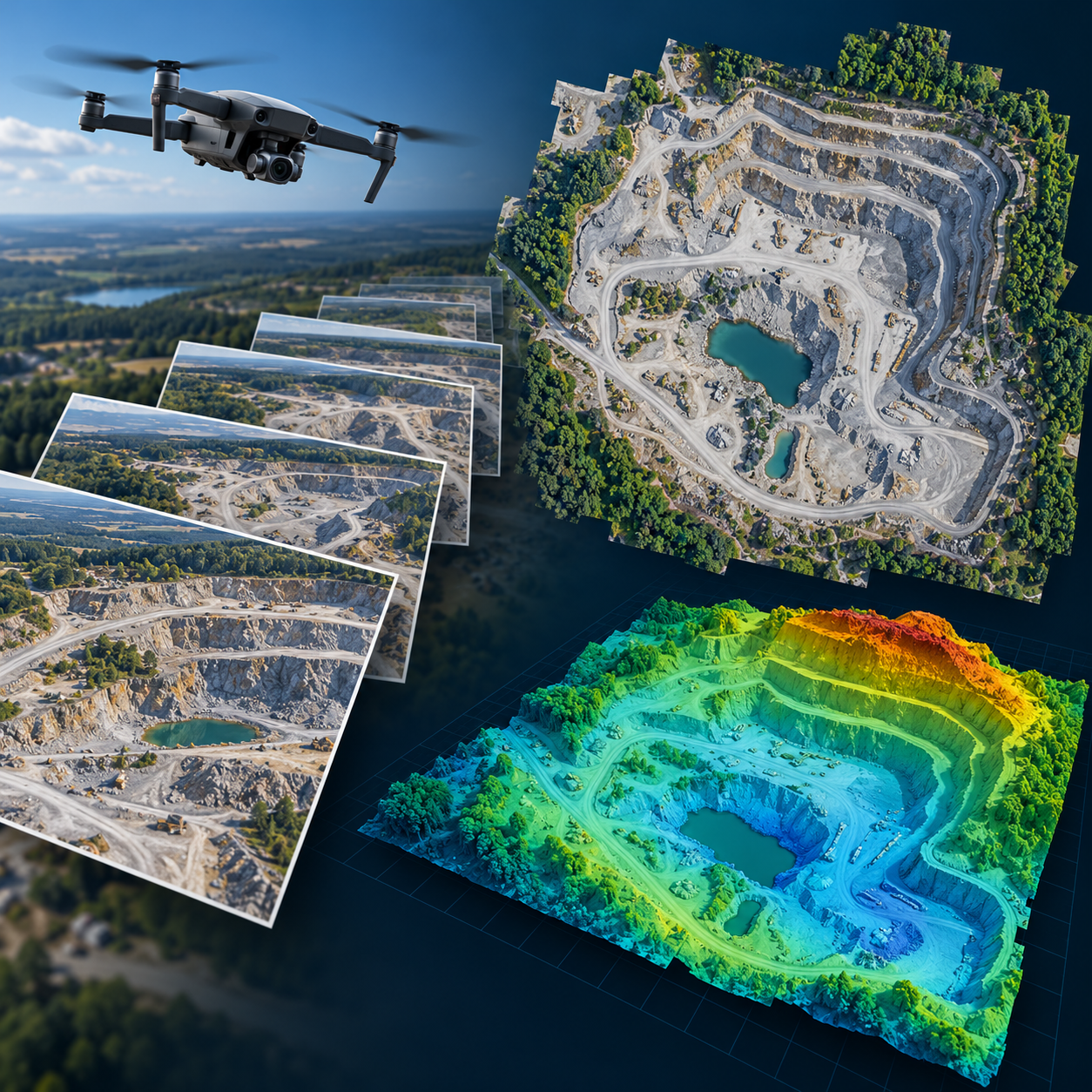
Follow the UAV photogrammetry workflow from camera calibration and aerial triangulation to dense clouds, orthomosaics, terrain models and accuracy-tested deliverables.
About this course
Follow the UAV photogrammetry workflow from camera calibration and aerial triangulation to dense clouds, orthomosaics, terrain models and accuracy-tested deliverables.
This practitioner course is part of the UAV, Photogrammetry & 3D school. Delivery: Self-Paced / Instructor-Led. Estimated study time: 18 h.
Course curriculum
- Module 1 — The Photogrammetric Pipeline End to End
- Module 2 — Camera Calibration and Lens Models
- Module 3 — Aerial Triangulation with Ground Control
- Module 4 — Dense Point Clouds
- Module 5 — Orthomosaics and True Orthophotos
- Module 6 — Surface and Terrain Models
- Module 7 — Accuracy Assessment and Reporting
- Module 8 — Processing Software and Workflow
Applied learning
- Case Study — Brackenhill: the Volumes That Were Right and the Levels That Were Not
- Lab 1 — Ground Control Count and Layout
- Lab 2 — The Block End to End: from Adjustment to Volumes
- Lab 3 — An Accuracy Report to a Recognised Standard
- Capstone — A Processing Procedure and Accuracy-Tested Products for a Monthly Quarry Survey
Who this course is for
GIS / Remote Sensing Professional; Technology Professional
Prerequisites
NE-UAV-202
Course details
- Course code: NE-UAV-204
- Level: Practitioner
- Estimated duration: 18 h
- Delivery: Self-Paced / Instructor-Led
Course materials are in pilot review.
| Training Delivery | Online Instructor-Led Training, Offline Instructor-Led Training |
|---|---|
| Level | Practitioner |
| Duration | 18 h |
| Delivery | Self-Paced / Instructor-Led |
Related products
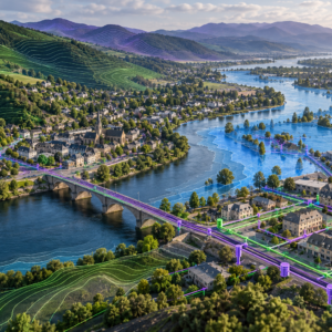
UAV, Photogrammetry & 3D
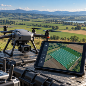
UAV, Photogrammetry & 3D
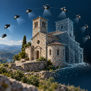
UAV, Photogrammetry & 3D
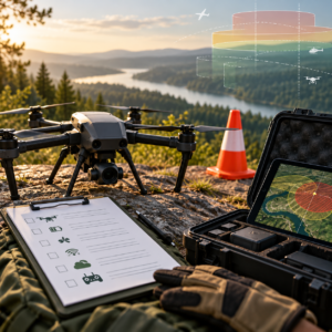
UAV, Photogrammetry & 3D
UAV, Photogrammetry & 3D

UAV, Photogrammetry & 3D
UAV, Photogrammetry & 3D
UAV, Photogrammetry & 3D
UAV, Photogrammetry & 3D
UAV, Photogrammetry & 3D
UAV, Photogrammetry & 3D
UAV, Photogrammetry & 3D