UAV Mission Planning
Price range: $ 185 through $ 375
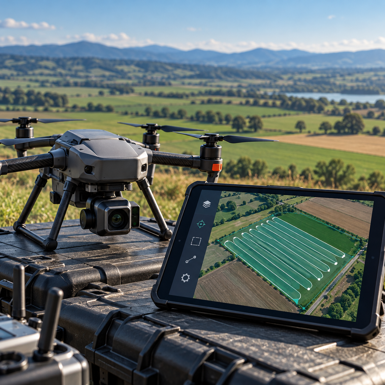
Translate survey accuracy requirements into workable UAV missions, balancing ground sampling distance, overlap, terrain, weather, endurance and site logistics.
About this course
Translate survey accuracy requirements into workable UAV missions, balancing ground sampling distance, overlap, terrain, weather, endurance and site logistics.
This practitioner course is part of the UAV, Photogrammetry & 3D school. Delivery: Self-Paced / Instructor-Led. Estimated study time: 14 h.
Course curriculum
- Module 1 — From Accuracy Requirement to Flight Design
- Module 2 — GSD, Overlap and Sidelap in Practice
- Module 3 — Terrain Following and Variable Ground Height
- Module 4 — Flight Patterns: Grid, Double Grid, Corridor, Orbit and Façade
- Module 5 — Weather, Wind and Light
- Module 6 — Batteries, Endurance and Multi-Flight Sites
- Module 7 — Airspace, Permissions and Site Logistics
- Module 8 — Mission Planning Software and Plan QA
Applied learning
- Case Study — Lanwarne: the Plan that Looked Fine
- Lab 1 — A Terrain-Following Plan for Brackenhill Quarry
- Lab 2 — The Pipeline Corridor and the Church Spire
- Lab 3 — Lanwarne Estate: a Multi-Day Plan
- Capstone — A Mission Pack for the Northfield Cliffs Survey
Who this course is for
GIS / Remote Sensing Professional; Technology Professional
Prerequisites
NE-UAV-101
Course details
- Course code: NE-UAV-201
- Level: Practitioner
- Estimated duration: 14 h
- Delivery: Self-Paced / Instructor-Led
Course materials are in pilot review.
| Training Delivery | Online Instructor-Led Training, Offline Instructor-Led Training |
|---|---|
| Level | Practitioner |
| Duration | 14 h |
| Delivery | Self-Paced / Instructor-Led |
Related products
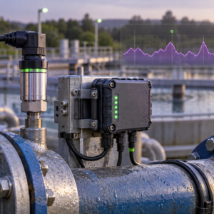
UAV, Photogrammetry & 3D
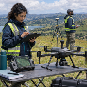
UAV, Photogrammetry & 3D

UAV, Photogrammetry & 3D
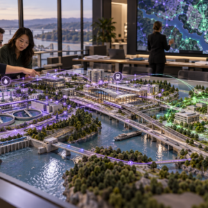
UAV, Photogrammetry & 3D
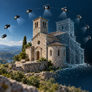
UAV, Photogrammetry & 3D

UAV, Photogrammetry & 3D
UAV, Photogrammetry & 3D
UAV, Photogrammetry & 3D
UAV, Photogrammetry & 3D
UAV, Photogrammetry & 3D
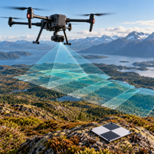
UAV, Photogrammetry & 3D
UAV, Photogrammetry & 3D