Advanced Technologies Academy

Understand the Earth.
Build Intelligent Spatial Systems.

Learn how geospatial data, satellite imagery, remote sensing, AI and spatial analytics can be combined to understand environments, cities, infrastructure and changing landscapes.

GIS & Earth Observation Spatial Data Science GeoAI & Machine Learning
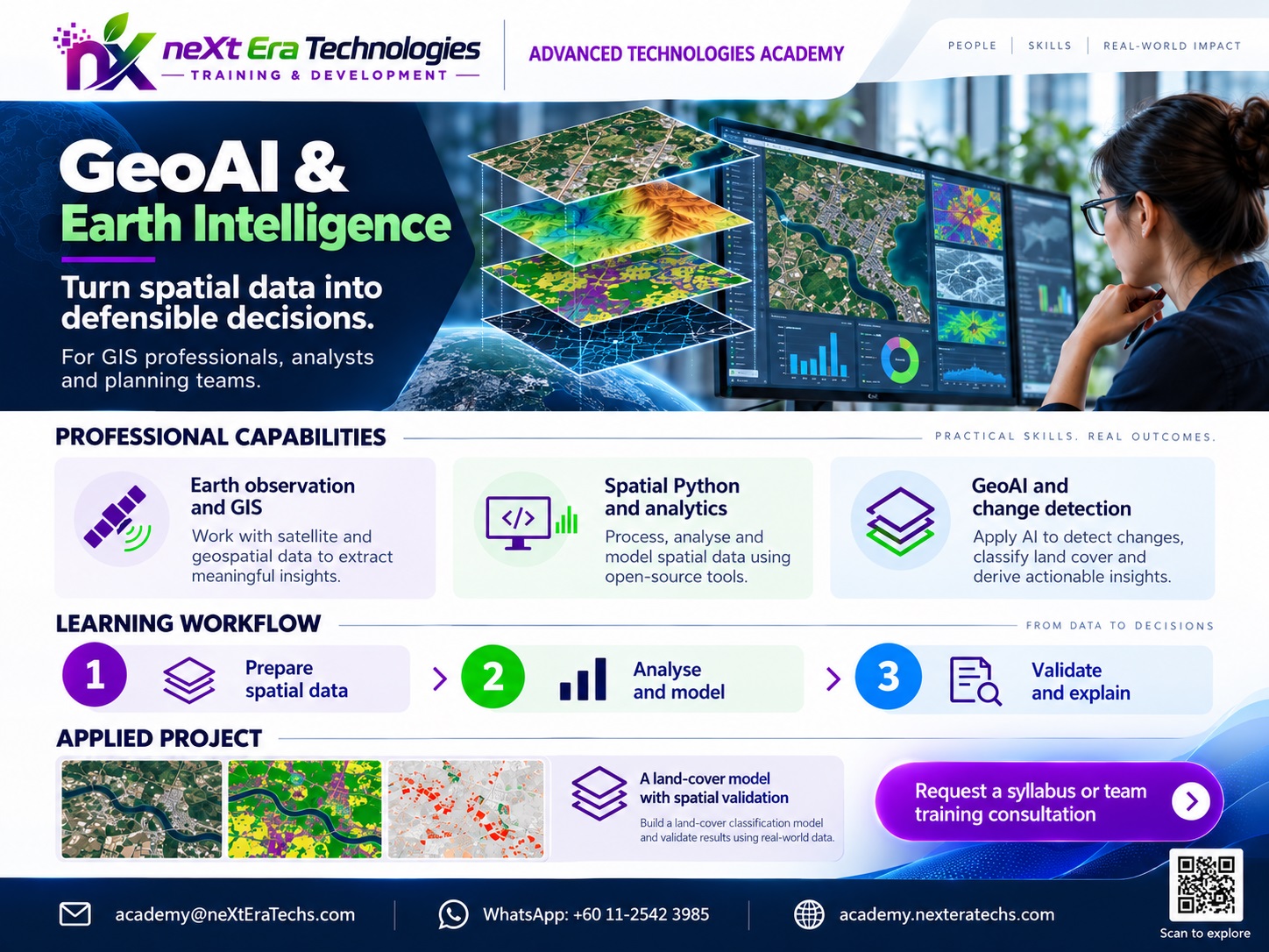
GeoAI & Earth Intelligence

From Geospatial Data to Earth Intelligence

Modern Earth observation generates enormous volumes of spatial information from satellites, drones, sensors, LiDAR and geographic databases.

GeoAI combines this information with machine learning, computer vision and spatial analysis to answer practical geographic questions.

Where is development occurring?
How is land cover changing?
Where are environmental risks increasing?
How can infrastructure be monitored?
What patterns exist across large geographic areas?
How can spatial information support better decisions?
01 / LEARN

Understand GIS, remote sensing, Earth observation and spatial data.

02 / BUILD

Process imagery, create spatial models and develop GeoAI applications.

03 / APPLY

Use geospatial intelligence for cities, agriculture, infrastructure, climate and environmental analysis.

Curriculum

Explore the GeoAI Curriculum

Six coordinated modules, progressing from geographic foundations to advanced Earth intelligence applications.

MODULE 01 GEOAI PATHWAY

Geospatial Foundations

Coordinate systems, spatial models and GIS tools form the technical starting point.

7 curriculum topics · 1 practice project

01 / Curriculum focus

  • Coordinate reference systems
  • Geographic and projected coordinates
  • Vector and raster data
  • Spatial databases
  • Spatial relationships
  • Geospatial data formats
  • GIS fundamentals
Suggested entry knowledge

Basic computer skills and geography interest.

02 / Practical application

APPLIED PROJECT IDEA

Raster and vector mapping lab

Create a reproducible GIS map with documented coordinates, sources and projections.
MODULE 02 GEOAI PATHWAY

Remote Sensing & Earth Observation

Interpret satellite signals and prepare Earth observation datasets for analysis.

7 curriculum topics · 1 practice project

01 / Curriculum focus

  • Satellite imagery
  • Multispectral data
  • Spectral signatures
  • Image preprocessing
  • Vegetation and water indices
  • Land-cover analysis
  • Change detection
Suggested entry knowledge

GIS foundations, raster concepts and basic statistics.

02 / Practical application

APPLIED PROJECT IDEA

Land-cover index mapping

Prepare satellite scenes and map vegetation or water indicators with a quality checklist.

MODULE 03 GEOAI PATHWAY

Spatial Data Science

Program repeatable spatial analyses using Python and database technologies.

8 curriculum topics · 1 practice project

01 / Curriculum focus

  • Spatial statistics
  • Geospatial Python
  • Raster processing
  • Vector analysis
  • Spatial databases
  • GeoPandas
  • Rasterio
  • PostGIS
Suggested entry knowledge

Foundational Python, GIS and data handling.

02 / Practical application

APPLIED PROJECT IDEA

Reproducible spatial analysis

Build a Python notebook combining geospatial files, spatial operations and map outputs.

MODULE 04 GEOAI PATHWAY

GeoAI & Machine Learning

Develop and evaluate spatial machine-learning and computer-vision workflows.

7 curriculum topics · 1 practice project

01 / Curriculum focus

  • Machine learning for spatial data
  • Image classification
  • Object detection
  • Semantic segmentation
  • Feature extraction
  • Spatial prediction
  • Model evaluation
Suggested entry knowledge

Python, statistics, raster workflows and introductory machine learning.

02 / Practical application

APPLIED PROJECT IDEA

GeoAI classification prototype

Train and evaluate a spatial classification model using a geographically separated test set.

MODULE 05 GEOAI PATHWAY

Earth Intelligence

Apply geospatial methods to environmental, urban and infrastructure questions.

7 curriculum topics · 1 practice project

01 / Curriculum focus

  • Environmental monitoring
  • Urban growth analysis
  • Agricultural intelligence
  • Infrastructure monitoring
  • Disaster assessment
  • Climate-related spatial analysis
  • Natural resource analysis
Suggested entry knowledge

Remote sensing, spatial analysis and model evaluation.

02 / Practical application

APPLIED PROJECT IDEA

Urban change assessment

Compare dated imagery and explain changes, uncertainty and limitations in a short report.

MODULE 06 GEOAI PATHWAY

Advanced Geospatial Systems

Combine cloud processing, web maps and 3D systems into technical demonstrations.

7 curriculum topics · 1 practice project

01 / Curriculum focus

  • Cloud-based geospatial processing
  • Large-scale Earth observation
  • Spatial APIs
  • Web mapping
  • 3D geospatial data
  • Digital twins
  • Decision-support systems
Suggested entry knowledge

Strong GIS and Python fundamentals; APIs and databases are recommended.

02 / Practical application

APPLIED PROJECT IDEA

Earth intelligence dashboard

Publish a documented prototype that displays spatial layers, analysis results and caveats.

Technology Stack

From Earth Observation to Intelligence

Students learn how raw geographic and Earth observation data moves through processing, analysis and machine learning into practical applications.

01 / DATA SOURCES

Data Sources

  • Satellite Imagery
  • UAV Data
  • LiDAR
  • GIS Databases
  • IoT Sensors
  • Open Geospatial Data
02 / PROCESSING

Processing

  • GIS
  • Remote Sensing
  • Raster Processing
  • Spatial Databases
  • Cloud Computing
03 / INTELLIGENCE

Intelligence

  • Machine Learning
  • Computer Vision
  • Deep Learning
  • Spatial Analysis
  • Change Detection
04 / APPLICATIONS

Applications

  • Urban Intelligence
  • Agriculture
  • Infrastructure
  • Environment
  • Climate
  • Disaster Management
Hands-On Projects

Build Real GeoAI Systems

Practical projects take students from data preparation through spatial analysis, machine learning and evaluation.

LAND COVER MAPVegetationBuilt-up
SATELLITE INTELLIGENCE / LAND-COVER MAPPING
Project 01

Land-Cover Intelligence System

Build a workflow that processes satellite imagery and classifies different land-cover types.

Technical workflow
  • Satellite imagery
  • Raster preprocessing
  • Spectral features
  • Classification models
  • Accuracy assessment
  • Spatial visualization
Expected outcome

A working land-cover classification workflow with documented model performance.

T1 / BASELINET2 / CHANGEMULTI-TEMPORAL ANALYSIS
EARTH OBSERVATION / TEMPORAL ANALYSIS
Project 02

Urban Growth & Change Detection

Analyze how a city or region has changed over time using multi-temporal Earth observation data.

Technical workflow
  • Historical satellite imagery
  • Image preprocessing
  • Change detection
  • Built-up area extraction
  • Spatial statistics
  • Interactive maps
Expected outcome

A spatial analysis showing patterns of urban expansion and land-use change.

BUILDINGVEHICLEBUILDINGOBJECT DETECTION
COMPUTER VISION / GEOSPATIAL DETECTION
Project 03

GeoAI Object Detection

Develop a computer-vision workflow capable of detecting selected objects in aerial or satellite imagery.

Technical workflow
  • Buildings
  • Roads
  • Vehicles
  • Solar panels
  • Agricultural features
  • Infrastructure assets
Expected outcome

A trained and evaluated detection model connected to a geospatial workflow.

Learning Journey

Progress from GIS Foundations to Earth Intelligence

The pathway increases in technical depth as students move from geographic data concepts to complete GeoAI systems.

Level 01

Geospatial Foundations

GIS → Coordinate Systems → Raster → Vector → Spatial Data

Level 02

Earth Observation

Remote Sensing → Satellite Imagery → Spectral Analysis → Change Detection

Level 03

Spatial Data Science

Python → GeoPandas → Raster Processing → PostGIS → Spatial Analytics

Level 04

GeoAI

Machine Learning → Computer Vision → Classification → Detection → Segmentation

Level 05

Earth Intelligence Systems

GeoAI → 3D Geospatial → Digital Twins → Decision Support → Applications

Learning Outcomes

What Students Will Be Able to Do

✓Explain fundamental geospatial concepts.
✓Work with raster and vector datasets.
✓Understand coordinate reference systems.
✓Process satellite and Earth observation data.
✓Perform spatial analysis using Python.
✓Work with spatial databases.
✓Prepare geospatial datasets for machine learning.
✓Build basic GeoAI models.
✓Evaluate classification and detection results.
✓Perform spatial change detection.
✓Visualize geospatial analysis results.
✓Design a practical GeoAI workflow.
✓Document data, methods and assumptions.
✓Develop a working geospatial intelligence prototype.
Practical Skills

Technical Capabilities

GIS Remote Sensing Earth Observation Python GeoPandas Raster Processing PostGIS Machine Learning Computer Vision Spatial Analytics Satellite Imagery 3D Geospatial
GeoAI Development Workflow

From Geographic Problem to Decision Support

A structured process for transforming geographic data into validated spatial intelligence and decision-support applications.

  1. 01

    DEFINE

    Identify the geographic problem, objectives and success criteria.

  2. 02

    COLLECT

    Acquire relevant satellite imagery, GIS layers and spatial datasets.

  3. 03

    PREPARE

    Clean, georeference, align and validate spatial data for analysis.

  4. 04

    ANALYZE

    Examine spatial relationships, distributions and geographic patterns.

  5. 05

    MODEL

    Develop spatial prediction, classification or GeoAI models.

  6. 06

    EVALUATE

    Assess model performance, geographic accuracy, uncertainty and limitations.

  7. 07

    DEPLOY

    Deliver maps, spatial services, dashboards or decision-support tools.

Responsible GeoAI

Build Geospatial Systems You Can Trust

Students learn to evaluate the quality, accuracy, limitations and appropriate use of geospatial intelligence.

Data Quality

Understand source, resolution, completeness and uncertainty.

Spatial Accuracy

Validate geographic measurements and model outputs.

Model Evaluation

Measure performance using appropriate validation methods.

Bias & Representation

Understand how data coverage and sampling affect results.

Privacy

Recognize risks associated with high-resolution imagery and location data.

Traceability

Document datasets, processing steps, models and assumptions.

Who Should Attend

Designed for Students, Professionals and Institutions

Ideal Participants

  • Students
  • GIS Students
  • Geography Students
  • Environmental Science Students
  • Data Science Students
  • Engineering Students
  • Remote Sensing Professionals
  • GIS Professionals
  • Technology Professionals
  • Educators
  • Schools and Institutions

Prerequisites

Foundation level

Basic computer literacy, mathematical reasoning and an interest in geography, technology or data.

Advanced projects

Basic Python, statistics, GIS concepts and familiarity with datasets.

No advanced remote-sensing experience is required for the foundation pathway.

Schools & Institutions

Bring GeoAI Into the Classroom

Flexible programs can be delivered as workshops, bootcamps, project-based learning or faculty development.

GeoAI Technology Workshops

Short practical introductions to GIS, Earth observation and GeoAI.

Project-Based GeoAI Programs

Students develop complete geospatial projects from data preparation to analysis.

GeoAI Bootcamps

Intensive programs combining GIS, remote sensing, Python and AI.

Earth Observation Programs

Hands-on satellite imagery and environmental analysis.

Faculty Development

Technical training for educators working with GIS, data science and emerging geospatial technologies.

Custom Programs

Programs designed around institutional curriculum, facilities and student skill levels.

Real-World Applications

Where GeoAI Can Be Applied

Smart Cities

Urban planning and development analysis.

Agriculture

Crop monitoring, land analysis and agricultural intelligence.

Environment

Forest, water, biodiversity and land-cover monitoring.

Infrastructure

Asset mapping, monitoring and spatial analysis.

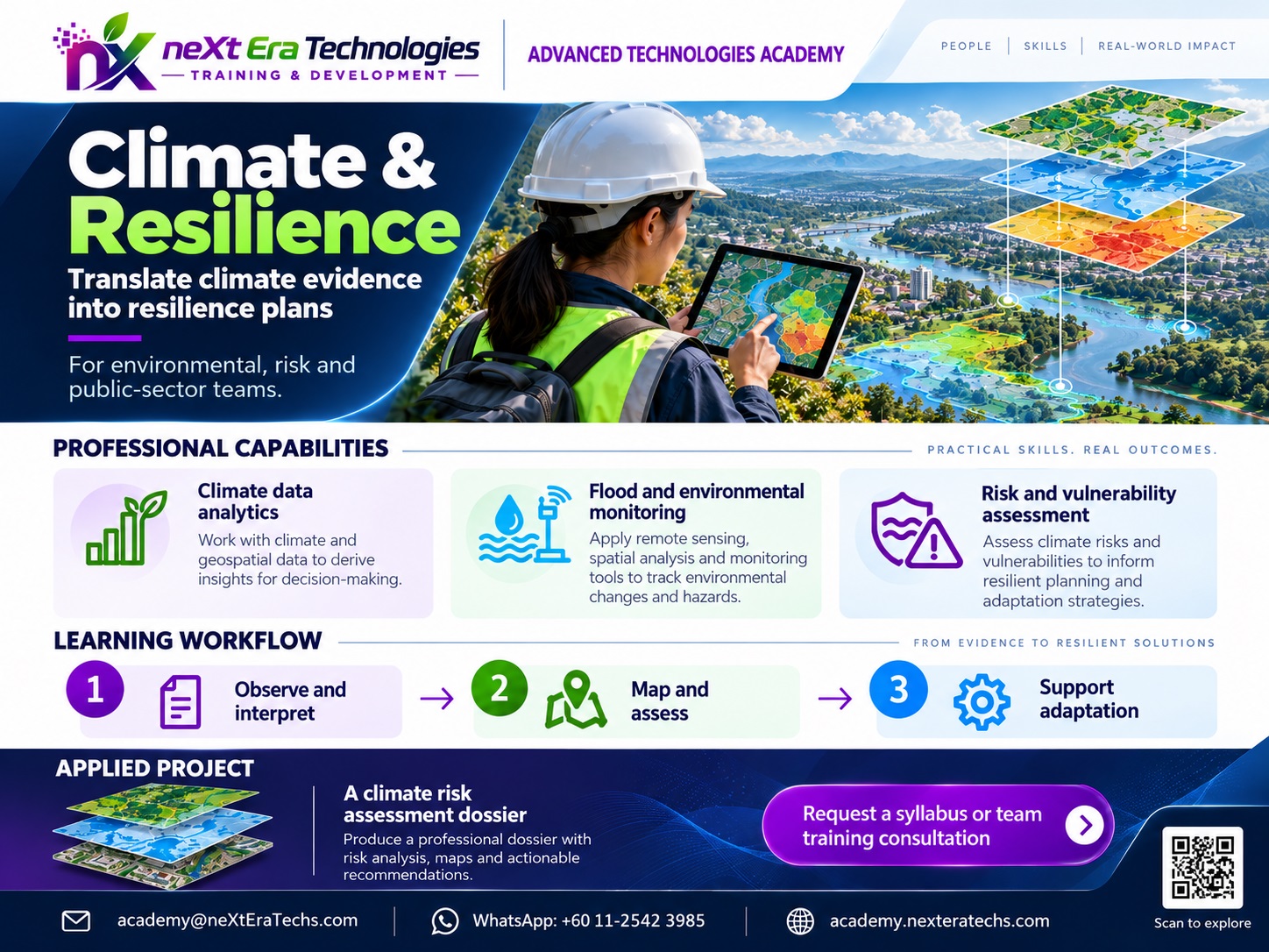
Climate & Resilience

Risk mapping, environmental change and climate-related analysis.

Disaster Management

Rapid mapping and post-event spatial assessment.

Capstone Project

Build Your Own Earth Intelligence System

Students define a real geographic problem and develop a complete GeoAI solution.

The final project demonstrates the ability to move from geospatial data through analysis and intelligence into practical decision support.

  • Problem definition
  • Spatial data sources
  • Coordinate reference system
  • Data preparation
  • Spatial analysis
  • AI / ML component
  • Model evaluation
  • Visualization
  • Accuracy and limitations
  • Technical documentation
  • Final demonstration
neXt Era Technologies · Training & Development

Build the Skills to Understand Our Changing Planet

Learn. Build. Apply.

Questions about a program? [email protected]