UAV Fundamentals
Price range: $ 185 through $ 375
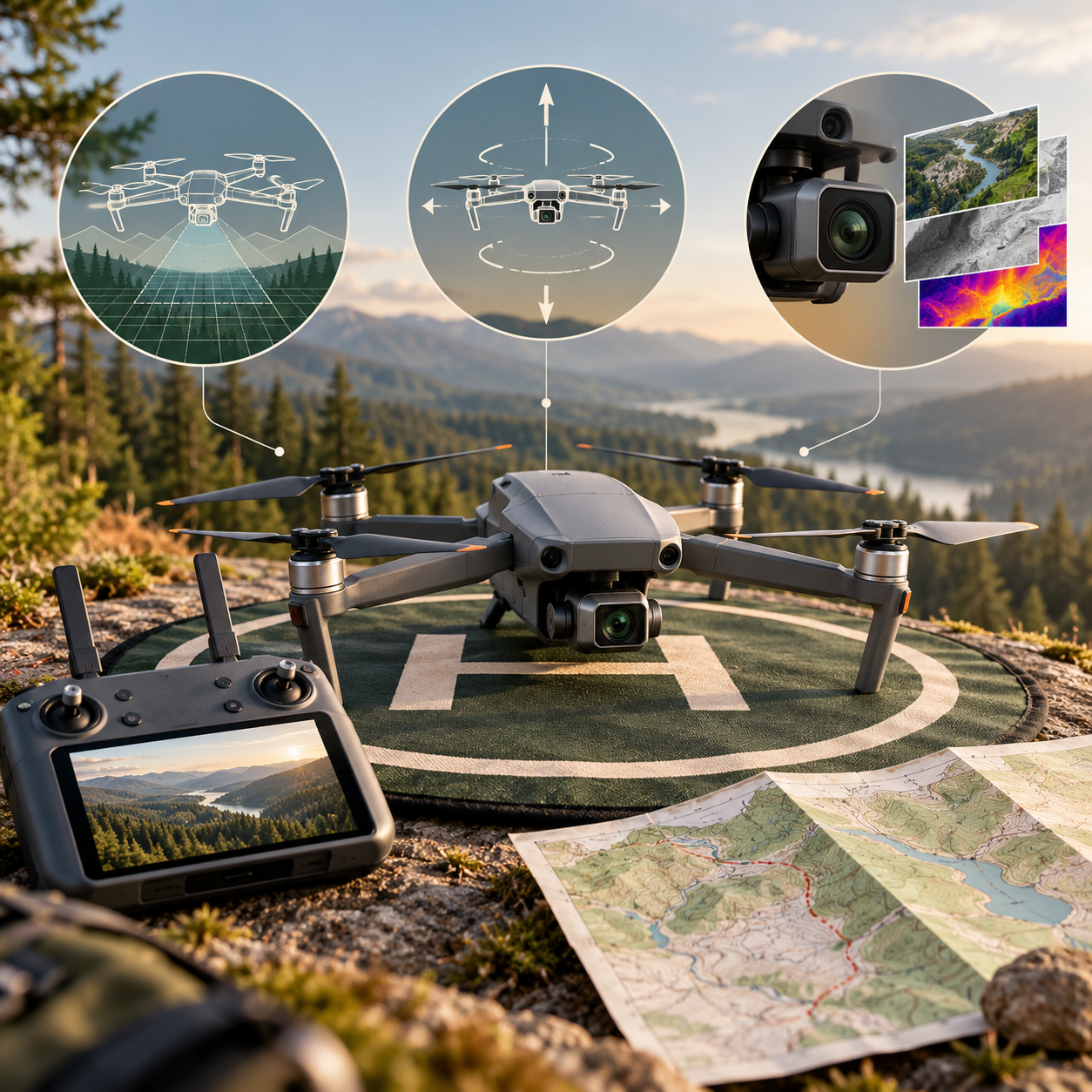
Understand UAV systems, sensors and survey planning, and follow the workflow from aerial photographs to mapping products.
About this course
Understand UAV systems, sensors and survey planning, and follow the workflow from aerial photographs to mapping products.
This foundation course is part of the UAV, Photogrammetry & 3D school. The curriculum includes an estimated 10 h of study content. Instructor-led delivery is available online or offline; session schedules are confirmed during enrollment.
Course curriculum
- Module 1 — What Drones Are and What They Do
- Module 2 — How a Drone Flies
- Module 3 — Cameras and Sensors
- Module 4 — Planning a Survey Flight
- Module 5 — Positioning and Accuracy
- Module 6 — Rules, Safety and Ethics
- Module 7 — From Photos to Products
Applied learning
- Case Study — Pennard Aggregates: the stockpile that grew
- Lab 1 — Plan a mapping mission
- Lab 2 — Ground control, checkpoints and a blunder
- Lab 3 — What happened on the flights? A flight-log review
- Capstone — A Survey Plan a Client Can Sign Off
Who this course is for
Student / Beginner; GIS / Remote Sensing Professional; Technology Professional
Prerequisites
No prerequisite course is listed in the academy catalog.
Course details
- Course code: NE-UAV-101
- Level: Foundation
- Estimated duration: 10 h
- Delivery: Self-Paced
| Training Delivery | Online Instructor-Led Training, Offline Instructor-Led Training |
|---|---|
| Level | Foundation |
| Duration | 10 h |
| Delivery | Self-Paced |
Related products
UAV, Photogrammetry & 3D

UAV, Photogrammetry & 3D
UAV, Photogrammetry & 3D
UAV, Photogrammetry & 3D

UAV, Photogrammetry & 3D

UAV, Photogrammetry & 3D
UAV, Photogrammetry & 3D
UAV, Photogrammetry & 3D

UAV, Photogrammetry & 3D
UAV, Photogrammetry & 3D

UAV, Photogrammetry & 3D

UAV, Photogrammetry & 3D