UAV Data Science
Price range: $ 185 through $ 375
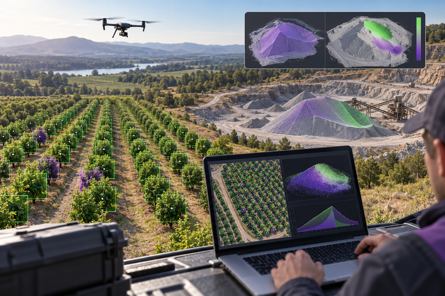
Turn drone surveys into evidence clients can act on. Analyse change, count objects, assess condition and vegetation, quantify uncertainty, and design repeatable analytics pipelines and clear data products.
About this course
Turn drone surveys into evidence clients can act on. Analyse change, count objects, assess condition and vegetation, quantify uncertainty, and design repeatable analytics pipelines and clear data products.
This advanced course is part of the UAV, Photogrammetry & 3D school. Delivery: Self-Paced / Instructor-Led. Estimated study time: 22 h.
Course curriculum
- Module 1 — Drone Data as Data
- Module 2 — Multi-Survey Analytics and Change
- Module 3 — Detection and Counting
- Module 4 — Condition and Defect Analysis
- Module 5 — Multispectral Analytics for Vegetation
- Module 6 — Uncertainty from Survey to Answer
- Module 7 — Automating Survey Pipelines
- Module 8 — Reports and Data Products Clients Act On
Applied learning
- Case Study — Brackenhill: the Sand That Weighed Less
- Lab 1 — Plant Counts with Error Bars
- Lab 2 — A Condition Report from Two Inspections
- Lab 3 — A Monthly Quarry Analytics Pipeline
- Capstone — A Drone Analytics Service for One Client
Who this course is for
GIS / Remote Sensing Professional; Technology Professional
Prerequisites
NE-UAV-304
Course details
- Course code: NE-UAV-307
- Level: Advanced
- Estimated duration: 22 h
- Delivery: Self-Paced / Instructor-Led
Includes online course lessons and practice activities. Course scenarios use simulated data. Course materials are in pilot review.
| Training Delivery | Online Instructor-Led Training, Offline Instructor-Led Training |
|---|---|
| Level | Advanced |
| Duration | 22 h |
| Delivery | Self-Paced / Instructor-Led |
Related products
UAV, Photogrammetry & 3D
UAV, Photogrammetry & 3D

UAV, Photogrammetry & 3D
UAV, Photogrammetry & 3D
UAV, Photogrammetry & 3D
UAV, Photogrammetry & 3D
UAV, Photogrammetry & 3D
UAV, Photogrammetry & 3D
UAV, Photogrammetry & 3D
UAV, Photogrammetry & 3D

UAV, Photogrammetry & 3D
UAV, Photogrammetry & 3D