UAV Safety & Ethics
Price range: $ 185 through $ 375
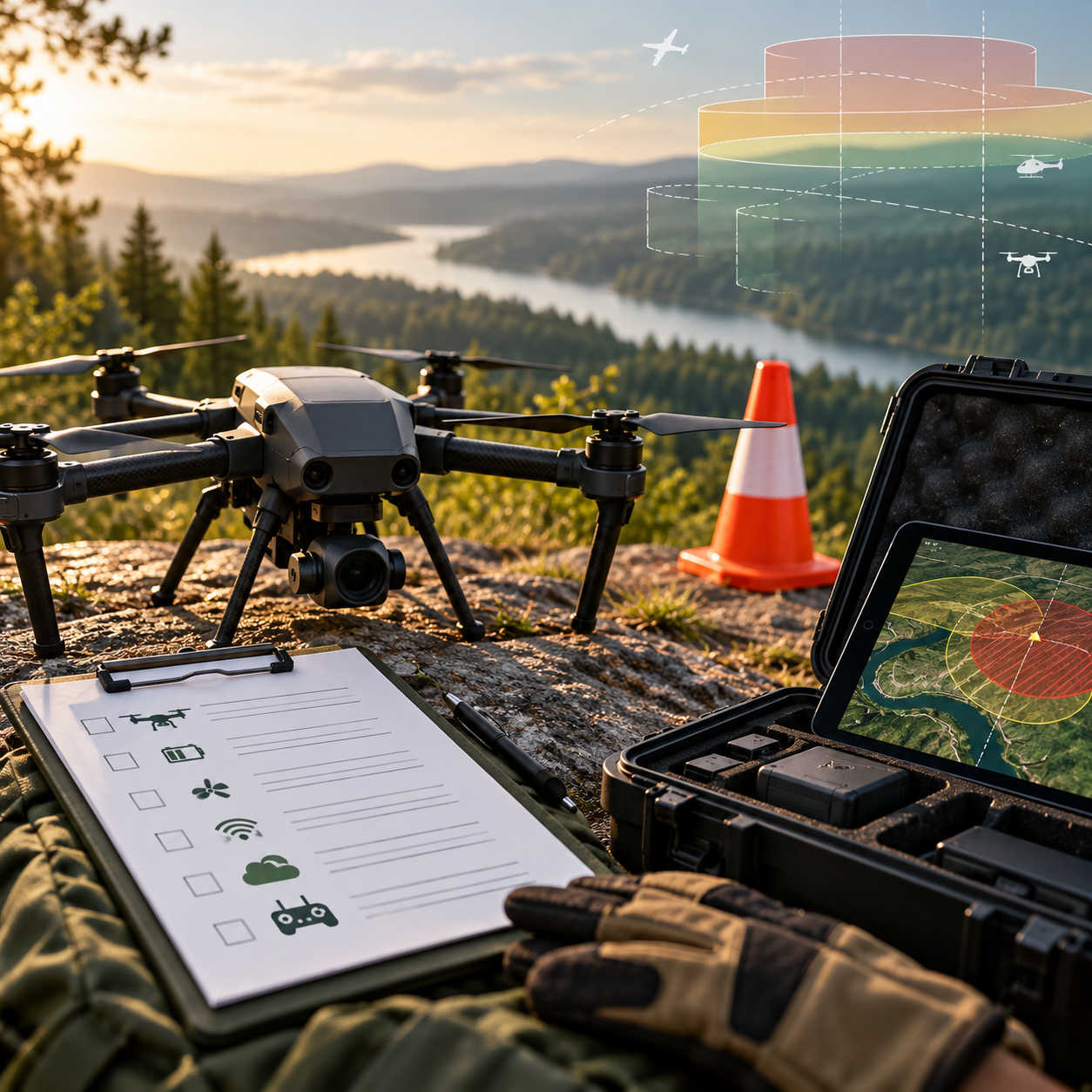
Develop a structured approach to UAV operational risk, airspace checks, emergency planning, privacy and ethical survey practice.
About this course
Develop a structured approach to UAV operational risk, airspace checks, emergency planning, privacy and ethical survey practice.
This foundation course is part of the UAV, Photogrammetry & 3D school. The curriculum includes an estimated 11 h of study content. Instructor-led delivery is available online or offline; session schedules are confirmed during enrollment.
Course curriculum
- Module 1 — How Drone Regulation Is Structured
- Module 2 — Airspace and How to Check It
- Module 3 — Operational Risk Assessment and Mitigations
- Module 4 — Emergency Procedures and Incident Reporting
- Module 5 — Privacy and Data Protection in Drone Surveys
- Module 6 — Ethics: Consent, Communities, Wildlife and Dual Use
- Module 7 — Insurance, Contracts and Record Keeping
Applied learning
- Case Study — The Busy June
- Lab 1 — A site risk assessment for three jobs
- Lab 2 — A privacy impact assessment for a survey over homes
- Lab 3 — An incident-log analysis
- Capstone — An Operational Safety and Ethics Case for a Drone Job
Who this course is for
Student / Beginner; GIS / Remote Sensing Professional; Technology Professional
Prerequisites
No prerequisite course is listed in the academy catalog.
Course details
- Course code: NE-UAV-102
- Level: Foundation
- Estimated duration: 11 h
- Delivery: Self-Paced
| Training Delivery | Online Instructor-Led Training, Offline Instructor-Led Training |
|---|---|
| Level | Foundation |
| Duration | 11 h |
| Delivery | Self-Paced |
Related products

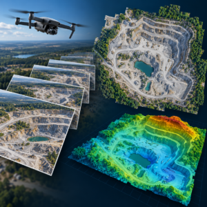
UAV, Photogrammetry & 3D
UAV, Photogrammetry & 3D
UAV, Photogrammetry & 3D

UAV, Photogrammetry & 3D
UAV, Photogrammetry & 3D
UAV, Photogrammetry & 3D
UAV, Photogrammetry & 3D

UAV, Photogrammetry & 3D

UAV, Photogrammetry & 3D

UAV, Photogrammetry & 3D

UAV, Photogrammetry & 3D
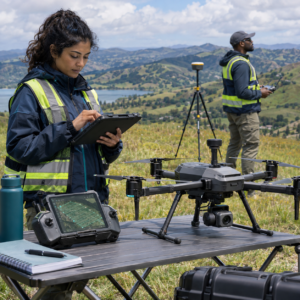
UAV, Photogrammetry & 3D