3D Reconstruction
Price range: $ 185 through $ 375
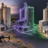
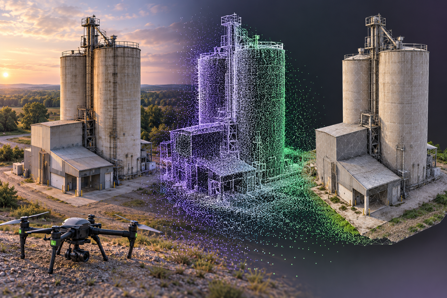
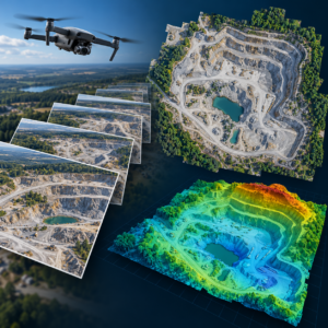
Turn overlapping drone photographs into measurable 3D reconstructions. Explore dense matching, meshing, texturing, model simplification and web delivery, and assess whether a reconstruction is fit for use in a digital twin.
About this course
Turn overlapping drone photographs into measurable 3D reconstructions. Explore dense matching, meshing, texturing, model simplification and web delivery, and assess whether a reconstruction is fit for use in a digital twin.
This advanced course is part of the UAV, Photogrammetry & 3D school. Delivery: Self-Paced / Instructor-Led. Estimated study time: 22 h.
Course curriculum
- Module 1 — Dense Matching and Multi-View Stereo
- Module 2 — Fusion, Meshing and Texturing
- Module 3 — Oblique and Façade Capture
- Module 4 — Level of Detail and Model Simplification
- Module 5 — Measurement in 3D Models
- Module 6 — 3D Tiles and Web Delivery
- Module 7 — Neural Reconstruction: NeRF and Gaussian Splatting
- Module 8 — 3D Models as Digital-Twin Inputs
Applied learning
- Case Study — Brackenhill: the Silo That Passed Every Check
- Lab 1 — A Capture Plan for the Silo
- Lab 2 — Measuring the South Façade
- Lab 3 — One Reconstruction, Four Clients
- Capstone — A 3D Reconstruction Specification and Twin-Ready Model of a Site
Who this course is for
GIS / Remote Sensing Professional; Technology Professional
Prerequisites
NE-UAV-205
Course details
- Course code: NE-UAV-304
- Level: Advanced
- Estimated duration: 22 h
- Delivery: Self-Paced / Instructor-Led
Includes online course lessons and practice activities. Course scenarios use simulated data. Course materials are in pilot review.
| Training Delivery | Online Instructor-Led Training, Offline Instructor-Led Training |
|---|---|
| Level | Advanced |
| Duration | 22 h |
| Delivery | Self-Paced / Instructor-Led |
Related products
UAV, Photogrammetry & 3D

UAV, Photogrammetry & 3D
UAV, Photogrammetry & 3D
UAV, Photogrammetry & 3D
UAV, Photogrammetry & 3D
UAV, Photogrammetry & 3D
UAV, Photogrammetry & 3D
UAV, Photogrammetry & 3D
UAV, Photogrammetry & 3D
UAV, Photogrammetry & 3D
UAV, Photogrammetry & 3D
UAV, Photogrammetry & 3D