Geospatial Digital Twins
Price range: $ 185 through $ 375
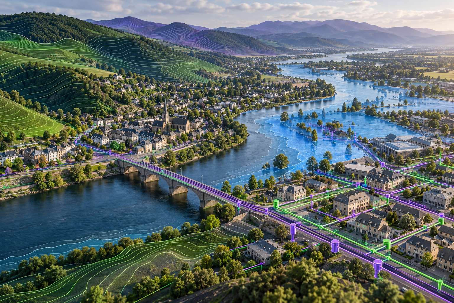
Build the geospatial foundation of a digital twin. Bring terrain, buildings, networks, sensors and events into a consistent spatial frame, validate topology, and use scenarios to support operational decisions.
About this course
Build the geospatial foundation of a digital twin. Bring terrain, buildings, networks, sensors and events into a consistent spatial frame, validate topology, and use scenarios to support operational decisions.
This practitioner course is part of the Smart Cities, Digital Twins & Urban Systems school. Delivery: Self-Paced / Instructor-Led. Estimated study time: 16 h.
Course curriculum
- Module 1 — What Makes a Twin Geospatial
- Module 2 — One Coordinate Frame
- Module 3 — Networks and Topology
- Module 4 — Terrain, Flood and Heights
- Module 5 — Linking Sensors and Events to Places
- Module 6 — Change Over Time and Versions
- Module 7 — Scenarios and What-If
- Module 8 — Visualisation for Decisions
Applied learning
- Case Study — The Flood Twin That Put the Gauge on the Wrong Bank
- Lab 1 — The Harrowby Water-Network Twin, with Topology Checks
- Lab 2 — A Flood Scenario on the Wend
- Lab 3 — A Road-Closure What-If
- Capstone — A Geospatial Twin for One Decision
Who this course is for
Engineer / Architect; Government Professional
Prerequisites
NE-DT-202
Course details
- Course code: NE-DT-201
- Level: Practitioner
- Estimated duration: 16 h
- Delivery: Self-Paced / Instructor-Led
Includes online course lessons and practice activities. Course scenarios use simulated data. Course materials are in pilot review.
| Training Delivery | Online Instructor-Led Training, Offline Instructor-Led Training |
|---|---|
| Level | Practitioner |
| Duration | 16 h |
| Delivery | Self-Paced / Instructor-Led |
Related products
UAV, Photogrammetry & 3D
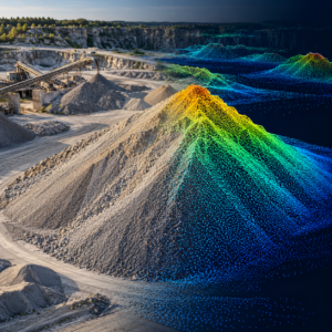
UAV, Photogrammetry & 3D
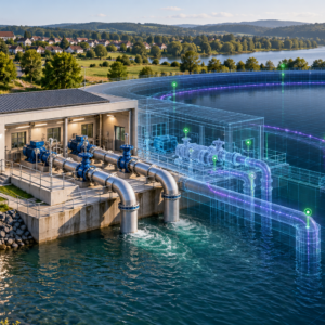
UAV, Photogrammetry & 3D
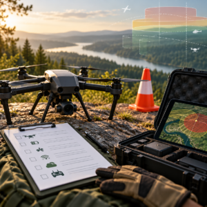
UAV, Photogrammetry & 3D
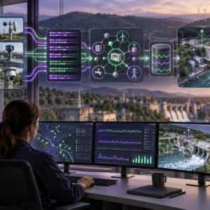
UAV, Photogrammetry & 3D
UAV, Photogrammetry & 3D
UAV, Photogrammetry & 3D
UAV, Photogrammetry & 3D
UAV, Photogrammetry & 3D
UAV, Photogrammetry & 3D
UAV, Photogrammetry & 3D
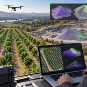
UAV, Photogrammetry & 3D