
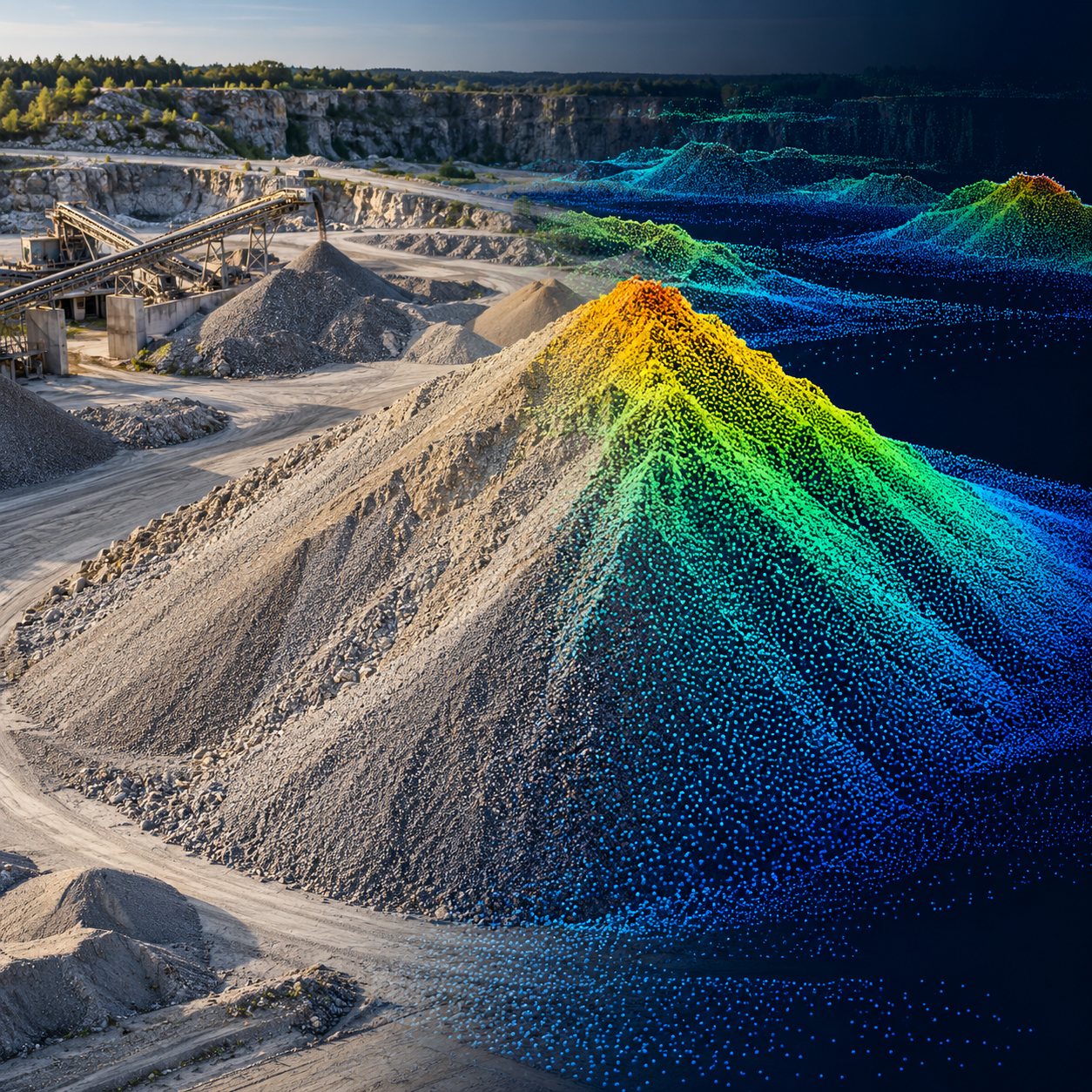
Point Clouds
Price range: $ 185 through $ 375
Process point clouds into defensible survey products through filtering, alignment, classification, terrain modelling, volume estimation and comparison between surveys.
About this course
Process point clouds into defensible survey products through filtering, alignment, classification, terrain modelling, volume estimation and comparison between surveys.
This practitioner course is part of the UAV, Photogrammetry & 3D school. Delivery: Self-Paced / Instructor-Led. Estimated study time: 16 h.
Course curriculum
- Module 1 — Point-Cloud Data
- Module 2 — Noise and Outlier Filtering
- Module 3 — Registration and Alignment
- Module 4 — Ground Filtering and Classification
- Module 5 — DTMs from Point Clouds
- Module 6 — Volumes and Cut-and-Fill
- Module 7 — Change Between Surveys
- Module 8 — Photogrammetric versus LiDAR Clouds
Applied learning
- Case Study — Brackenhill: the Pile That Grew Without a Delivery
- Lab 1 — Classify Ground and Build a DTM
- Lab 2 — Stockpile Volumes with Uncertainty
- Lab 3 — A Monthly Change Report
- Capstone — A Point-Cloud Processing Specification and Monthly Survey Product
Who this course is for
GIS / Remote Sensing Professional; Technology Professional
Prerequisites
NE-UAV-101
Course details
- Course code: NE-UAV-205
- Level: Practitioner
- Estimated duration: 16 h
- Delivery: Self-Paced / Instructor-Led
Course materials are in pilot review.
| Training Delivery | Online Instructor-Led Training, Offline Instructor-Led Training |
|---|---|
| Level | Practitioner |
| Duration | 16 h |
| Delivery | Self-Paced / Instructor-Led |
Related products
UAV, Photogrammetry & 3D
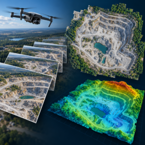
UAV, Photogrammetry & 3D
UAV, Photogrammetry & 3D
UAV, Photogrammetry & 3D
UAV, Photogrammetry & 3D

UAV, Photogrammetry & 3D

UAV, Photogrammetry & 3D
UAV, Photogrammetry & 3D
UAV, Photogrammetry & 3D
UAV, Photogrammetry & 3D

UAV, Photogrammetry & 3D

UAV, Photogrammetry & 3D