UAV Data Acquisition
Price range: $ 185 through $ 375
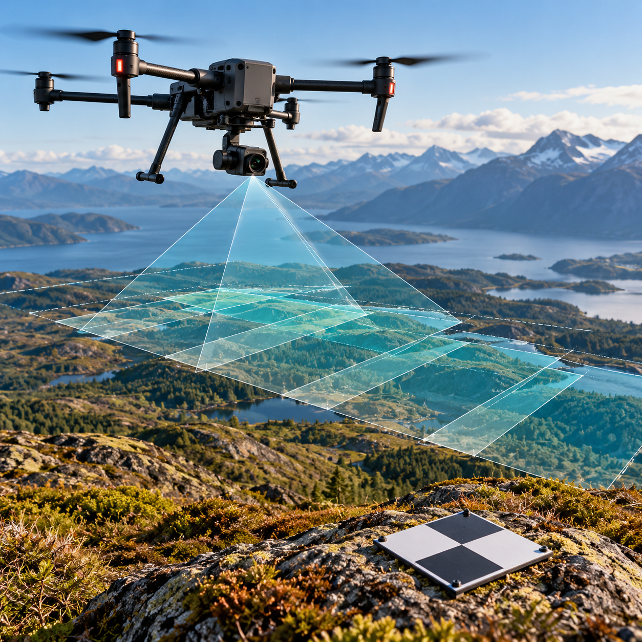
Plan and capture reliable UAV survey data through suitable sensors, camera settings, positioning, ground control, independent checkpoints and in-field quality checks.
About this course
Plan and capture reliable UAV survey data through suitable sensors, camera settings, positioning, ground control, independent checkpoints and in-field quality checks.
This practitioner course is part of the UAV, Photogrammetry & 3D school. Delivery: Self-Paced / Instructor-Led. Estimated study time: 14 h.
Course curriculum
- Module 1 — Camera Settings and Image Quality
- Module 2 — Sensors: RGB, Multispectral, Thermal and LiDAR
- Module 3 — GNSS, RTK, PPK and Base Stations
- Module 4 — Ground Control: Design, Survey and Marking
- Module 5 — Checkpoints and Independent Accuracy
- Module 6 — In-Field Quality Checks
- Module 7 — Data Management and Chain of Custody
Applied learning
- Case Study — Brackenhill: the Two-Metre Survey
- Lab 1 — PPK Processing of Flight 2
- Lab 2 — Ground Control for a Target Accuracy
- Lab 3 — An In-Field QA Report for 12 November
- Capstone — An Acquisition Plan and Field Protocol for a Monthly Survey
Who this course is for
GIS / Remote Sensing Professional; Technology Professional
Prerequisites
NE-UAV-201
Course details
- Course code: NE-UAV-202
- Level: Practitioner
- Estimated duration: 14 h
- Delivery: Self-Paced / Instructor-Led
Course materials are in pilot review.
| Training Delivery | Online Instructor-Led Training, Offline Instructor-Led Training |
|---|---|
| Level | Practitioner |
| Duration | 14 h |
| Delivery | Self-Paced / Instructor-Led |
Related products
UAV, Photogrammetry & 3D
UAV, Photogrammetry & 3D
UAV, Photogrammetry & 3D

UAV, Photogrammetry & 3D
UAV, Photogrammetry & 3D
UAV, Photogrammetry & 3D
UAV, Photogrammetry & 3D

UAV, Photogrammetry & 3D
UAV, Photogrammetry & 3D
UAV, Photogrammetry & 3D

UAV, Photogrammetry & 3D

UAV, Photogrammetry & 3D