3D Spatial Models
Price range: $ 185 through $ 375
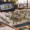
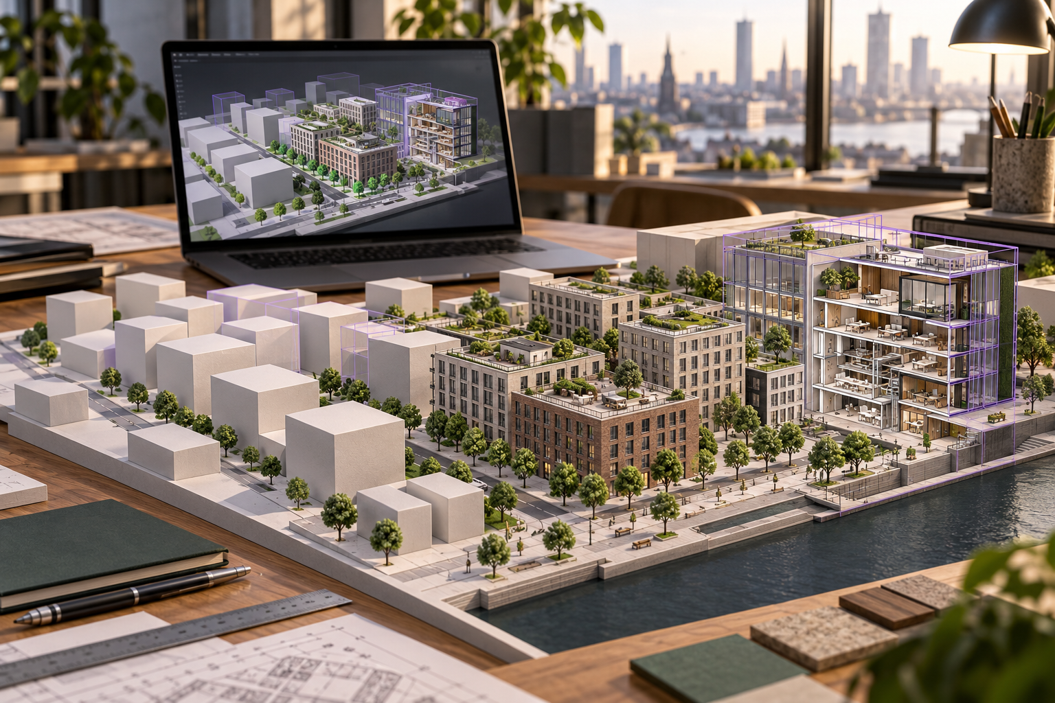
Create 3D spatial models that serve a clear purpose. Work with city models, BIM, georeferencing, levels of detail and asset information, then prepare efficient models for web delivery.
About this course
Create 3D spatial models that serve a clear purpose. Work with city models, BIM, georeferencing, levels of detail and asset information, then prepare efficient models for web delivery.
This practitioner course is part of the Smart Cities, Digital Twins & Urban Systems school. Delivery: Self-Paced / Instructor-Led. Estimated study time: 16 h.
Course curriculum
- Module 1 — 3D Data for Twins
- Module 2 — City Models and Levels of Detail
- Module 3 — CityGML and CityJSON
- Module 4 — BIM, IFC and Moving from BIM to GIS
- Module 5 — Heights, Datums and Georeferencing in 3D
- Module 6 — Asset Information Management
- Module 7 — 3D Tiles and Web Delivery
- Module 8 — Choosing the Level of Detail for the Purpose
Applied learning
- Case Study — Three Models of Harrowby That Did Not Line Up
- Lab 1 — An LOD1/LOD2 Model of Harrowby's Centre
- Lab 2 — Putting the Health Centre's BIM into the City Model
- Lab 3 — A 3D Tiles Package That Meets Its Budgets
- Capstone — A 3D Model Fit for Its Purpose
Who this course is for
Engineer / Architect; Government Professional
Prerequisites
NE-DT-102
Course details
- Course code: NE-DT-202
- Level: Practitioner
- Estimated duration: 16 h
- Delivery: Self-Paced / Instructor-Led
Includes online course lessons and practice activities. Course scenarios use simulated data. Course materials are in pilot review.
| Training Delivery | Online Instructor-Led Training, Offline Instructor-Led Training |
|---|---|
| Level | Practitioner |
| Duration | 16 h |
| Delivery | Self-Paced / Instructor-Led |
Related products
UAV, Photogrammetry & 3D
UAV, Photogrammetry & 3D
UAV, Photogrammetry & 3D
UAV, Photogrammetry & 3D
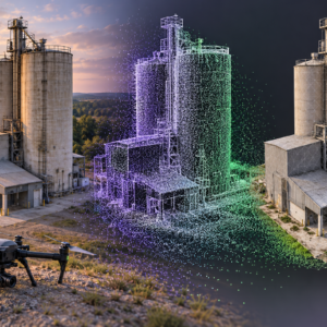
UAV, Photogrammetry & 3D
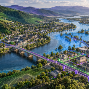
UAV, Photogrammetry & 3D
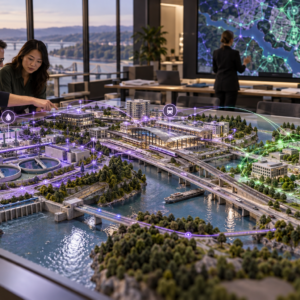
UAV, Photogrammetry & 3D
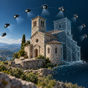
UAV, Photogrammetry & 3D
UAV, Photogrammetry & 3D
UAV, Photogrammetry & 3D
UAV, Photogrammetry & 3D
UAV, Photogrammetry & 3D