SAR & Radar Remote Sensing
Price range: $ 185 through $ 375
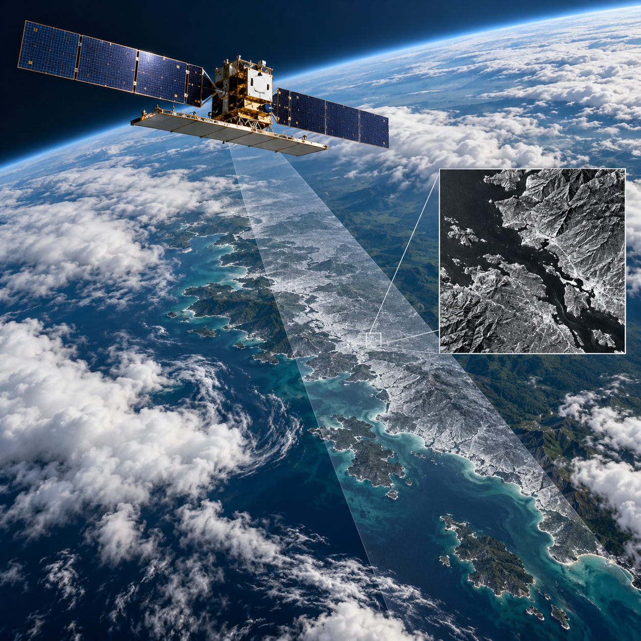
Interpret radar observations through imaging geometry, backscatter and processing, then apply SAR to flood mapping, crop monitoring and ground-motion interpretation.
About this course
Interpret radar observations through imaging geometry, backscatter and processing, then apply SAR to flood mapping, crop monitoring and ground-motion interpretation.
This advanced course is part of the Earth Observation & Remote Sensing school. Delivery: Instructor-Led / Cohort. Estimated study time: 20 h.
Course curriculum
- Module 1 — Radar Principles and Geometry
- Module 2 — Backscatter and What Controls It
- Module 3 — Calibration, Speckle and Terrain Correction
- Module 4 — Land and Water Applications
- Module 5 — Polarimetry Basics
- Module 6 — Time Series of SAR
- Module 7 — Interferometry and Ground Motion (Overview)
- Module 8 — SAR with Optical Data
Applied learning
- Case Study — Dark Water, Bright Streets
- Lab 1 — A flood map from SAR
- Lab 2 — Crop monitoring through cloud
- Lab 3 — Interpreting ground motion
- Capstone — A Radar Monitoring Product
Who this course is for
GIS / Remote Sensing Professional; Researcher; Government Professional
Prerequisites
NE-RS-101 Remote Sensing Fundamentals; Python with NumPy and pandas. NE-RS-202 Multispectral Remote Sensing is recommended; NE-RS-205 Image Classification is recommended before Modules 6 and 8.
Course details
- Course code: NE-RS-302
- Level: Advanced
- Estimated duration: 20 h
- Delivery: Instructor-Led / Cohort
Delivery options
- Online instructor-led: US$185.
- Offline instructor-led: US$375.
Select your delivery format before enrolling.
Learning materials
Lessons, learner labs, simulated datasets and assessment briefs are available through the Academy classroom. The package is a draft awaiting technical review and pilot delivery. Exercises use simplified simulated radar data and should not be treated as validated operational results.
| Training Delivery | Online Instructor-Led Training, Offline Instructor-Led Training |
|---|---|
| Level | Advanced |
| Duration | 20 h |
| Delivery | Instructor-Led / Cohort |
Related products
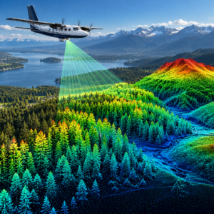
Earth Observation & Remote Sensing
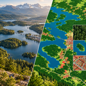
Earth Observation & Remote Sensing
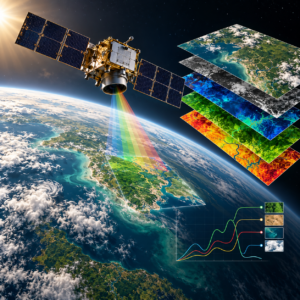
Earth Observation & Remote Sensing

Earth Observation & Remote Sensing
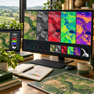
Earth Observation & Remote Sensing
Earth Observation & Remote Sensing

Earth Observation & Remote Sensing
Earth Observation & Remote Sensing

Earth Observation & Remote Sensing