
LiDAR
Price range: $ 185 through $ 375
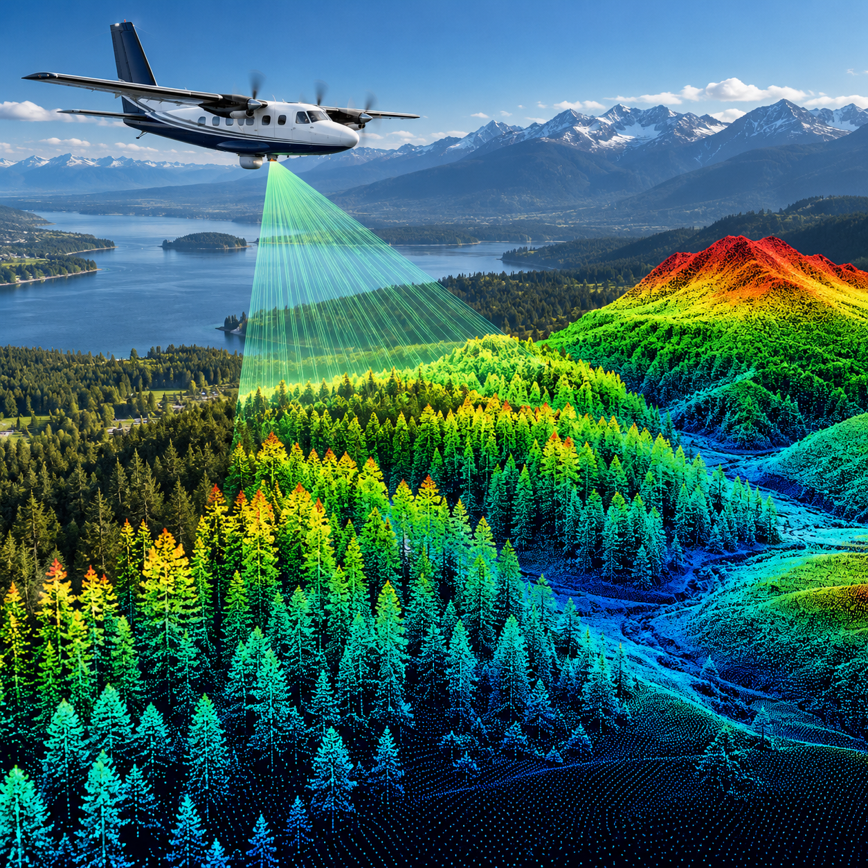
Turn laser-scanning observations into useful terrain, canopy and building products through point-cloud classification, data integration and independent quality checks.
About this course
Turn laser-scanning observations into useful terrain, canopy and building products through point-cloud classification, data integration and independent quality checks.
This practitioner course is part of the Earth Observation & Remote Sensing school. Delivery: Self-Paced / Instructor-Led. Estimated study time: 16 h.
Course curriculum
- Module 1 — How Laser Scanning Works
- Module 2 — Point Clouds and Formats
- Module 3 — Ground Classification and Terrain Models
- Module 4 — Surface and Canopy Height Models
- Module 5 — Buildings and Structures
- Module 6 — Forest Structure Metrics
- Module 7 — LiDAR with Optical Data
- Module 8 — Accuracy and Quality Control
Applied learning
- Case Study — The Survey That Passed on Average
- Lab 1 — A terrain model for the Water Board
- Lab 2 — Canopy heights, trees and biomass for the Forestry Office
- Lab 3 — Building heights for a 3D city model, with quality control
- Capstone — A Quality-Controlled LiDAR Product
Who this course is for
GIS / Remote Sensing Professional; Researcher; Government Professional
Prerequisites
NE-RS-101
Course details
- Course code: NE-RS-203
- Level: Practitioner
- Estimated duration: 16 h
- Delivery: Self-Paced / Instructor-Led
Course materials are in pilot review.
| Training Delivery | Online Instructor-Led Training, Offline Instructor-Led Training |
|---|---|
| Level | Practitioner |
| Duration | 16 h |
| Delivery | Self-Paced / Instructor-Led |
Related products

Earth Observation & Remote Sensing
Earth Observation & Remote Sensing

Earth Observation & Remote Sensing
Earth Observation & Remote Sensing

Earth Observation & Remote Sensing
Earth Observation & Remote Sensing

Earth Observation & Remote Sensing
Earth Observation & Remote Sensing

Earth Observation & Remote Sensing