Remote Sensing Fundamentals
Price range: $ 185 through $ 375
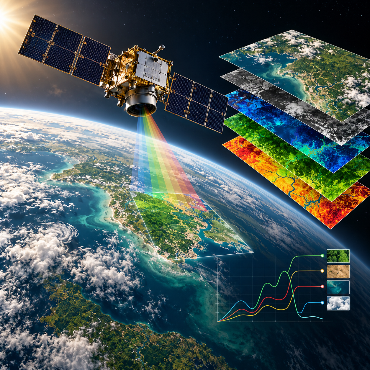
Learn how remote sensing turns measured energy into useful observations of the Earth, with attention to reflectance, indices and image interpretation.
About this course
Learn how remote sensing turns measured energy into useful observations of the Earth, with attention to reflectance, indices and image interpretation.
This foundation course is part of the Earth Observation & Remote Sensing school. The curriculum includes an estimated 10 h of study content. Instructor-led delivery is available online or offline; session schedules are confirmed during enrollment.
Course curriculum
- Module 1 — Light and Spectral Signatures
- Module 3 — From Digital Numbers to Reflectance
- Module 4 — Spectral Indices
- Module 5 — Clouds, Shadows and the Atmosphere
- Module 6 — Visual Interpretation and Data Access
Applied learning
- Case Study — Pennard: the Fire That Was 292 Hectares, Until It Was 40
- Lab 1 — Read a multispectral image and its metadata
- Lab 2 — Compute and interpret indices
- Lab 3 — Find usable images in a cloudy time series
- Capstone — An Earth-Observation Answer, Checked
Who this course is for
Student / Beginner; GIS / Remote Sensing Professional; Researcher; Government Professional
Prerequisites
No prerequisite course is listed in the academy catalog.
Course details
- Course code: NE-RS-101
- Level: Foundation
- Estimated duration: 10 h
- Delivery: Self-Paced
| Training Delivery | Online Instructor-Led Training, Offline Instructor-Led Training |
|---|---|
| Level | Foundation |
| Duration | 10 h |
| Delivery | Self-Paced |
Related products
Earth Observation & Remote Sensing
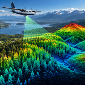
Earth Observation & Remote Sensing
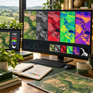
Earth Observation & Remote Sensing

Earth Observation & Remote Sensing

Earth Observation & Remote Sensing
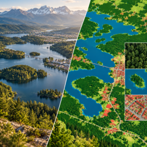
Earth Observation & Remote Sensing
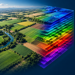
Earth Observation & Remote Sensing

Earth Observation & Remote Sensing
Earth Observation & Remote Sensing