
Hyperspectral Remote Sensing
Price range: $ 185 through $ 375
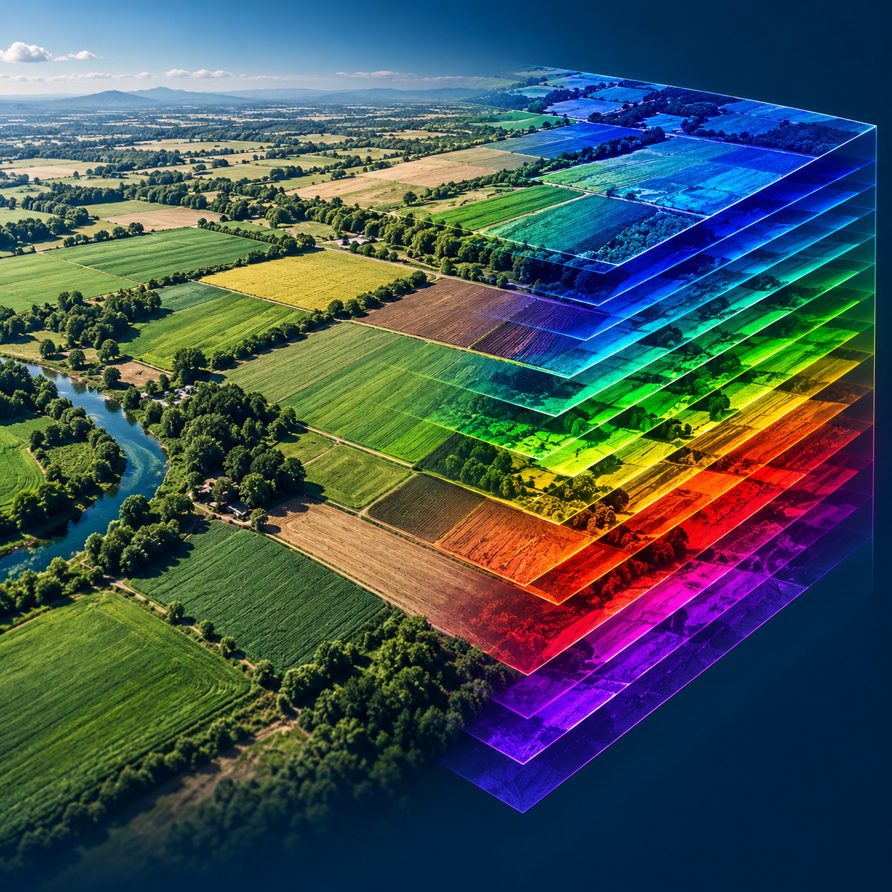
Explore imaging spectroscopy from sensor characteristics and noise correction to spectral matching, unmixing and defensible decisions about when hyperspectral data adds value.
About this course
Explore imaging spectroscopy from sensor characteristics and noise correction to spectral matching, unmixing and defensible decisions about when hyperspectral data adds value.
This advanced course is part of the Earth Observation & Remote Sensing school. Delivery: Instructor-Led / Cohort. Estimated study time: 22 h.
Course curriculum
- Module 1 — Imaging Spectroscopy and Sensors
- Module 2 — Noise and Data Quality
- Module 3 — Atmospheric Correction
- Module 4 — Dimensionality Reduction
- Module 5 — Spectral Libraries and Matching
- Module 6 — Unmixing and Target Detection
- Module 7 — Applications: Vegetation, Water and Minerals
- Module 8 — When Hyperspectral Is Worth It
Applied learning
- Case Study — The Survey That Sees Everything
- Lab 1 — Noise and band selection
- Lab 2 — Mineral mapping of Hollin Pit
- Lab 3 — Is hyperspectral worth it? A cost-benefit study
- Capstone — A Hyperspectral Product, Justified
Who this course is for
GIS / Remote Sensing Professional; Researcher; Government Professional
Prerequisites
NE-RS-101 Remote Sensing Fundamentals and NE-RS-202 Multispectral Remote Sensing; Python with NumPy and pandas. NE-RS-205 Image Classification is recommended before Modules 4 and 7.
Course details
- Course code: NE-RS-301
- Level: Advanced
- Estimated duration: 22 h
- Delivery: Instructor-Led / Cohort
Delivery options
- Online instructor-led: US$185.
- Offline instructor-led: US$375.
Select your delivery format before enrolling.
Learning materials
Lessons, learner labs, simulated datasets and assessment briefs are available through the Academy classroom. The package is a draft awaiting technical review and pilot delivery. Exercises use simulated data and should not be treated as validated operational results.
| Training Delivery | Online Instructor-Led Training, Offline Instructor-Led Training |
|---|---|
| Level | Advanced |
| Duration | 22 h |
| Delivery | Instructor-Led / Cohort |
Related products

Earth Observation & Remote Sensing
Earth Observation & Remote Sensing
Earth Observation & Remote Sensing
Earth Observation & Remote Sensing
Earth Observation & Remote Sensing

Earth Observation & Remote Sensing

Earth Observation & Remote Sensing
Earth Observation & Remote Sensing

Earth Observation & Remote Sensing