Image Classification
Price range: $ 185 through $ 375
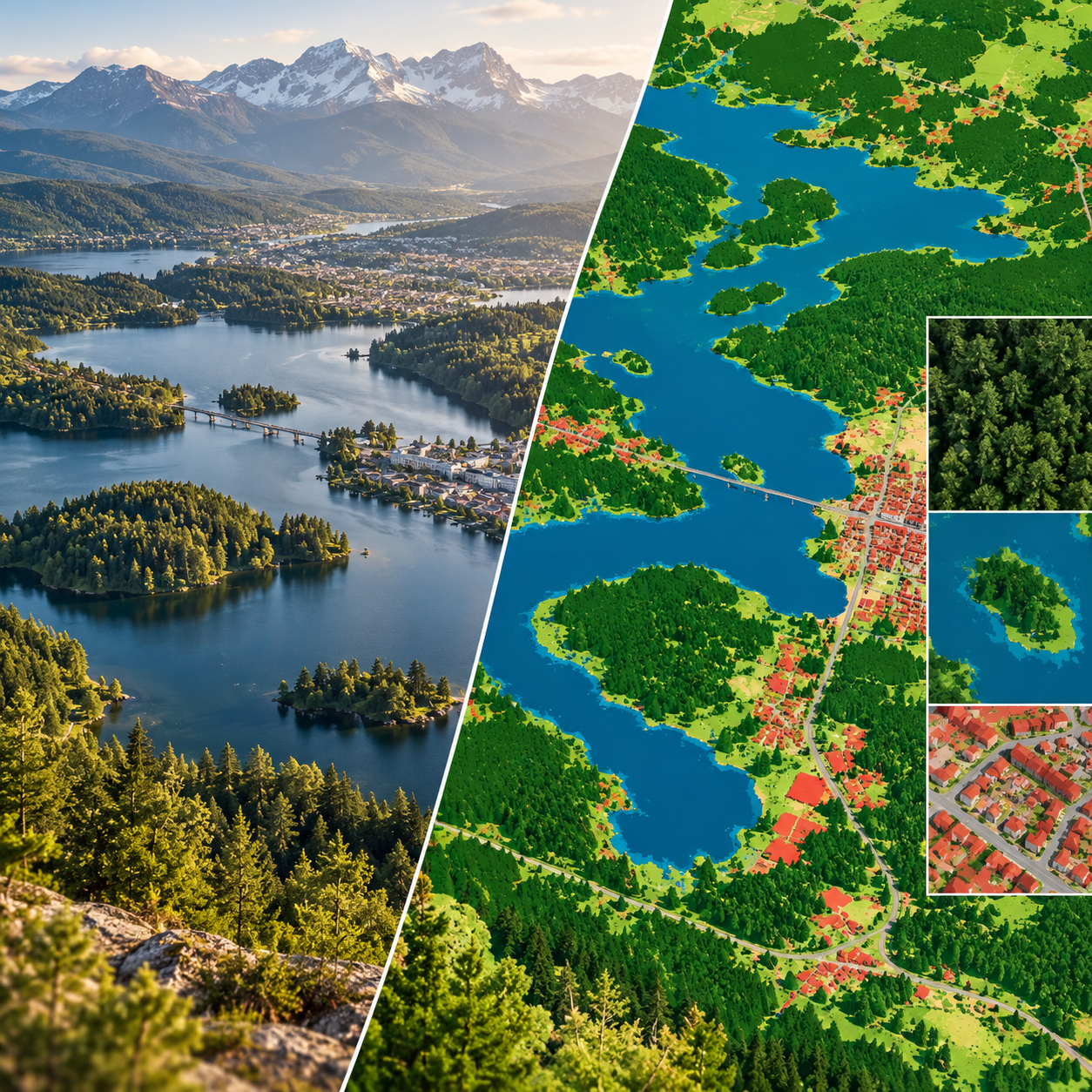
Design image classification workflows that connect useful map legends, representative training data and defensible accuracy assessment.
About this course
Design image classification workflows that connect useful map legends, representative training data and defensible accuracy assessment.
This practitioner course is part of the Earth Observation & Remote Sensing school. Work through the curriculum below in a self-paced / instructor-led format, with an estimated study time of 16 h.
Course curriculum
- Module 1 — Classification Design and Legends
- Module 2 — Training Data and Its Biases
- Module 3 — Pixel, Object and Parcel Classification
- Module 4 — Classical and Machine-Learning Classifiers
- Module 5 — Features from Spectra, Texture and Time
- Module 6 — Accuracy Assessment
- Module 7 — Area Estimation with Confidence Intervals
- Module 8 — Map Production and Documentation
Applied learning
- Case Study — The Map That Looked Right
- Lab 1 — Choosing a classifier
- Lab 2 — A land-cover map with a stratified reference sample
- Lab 3 — Area estimates for the Statistics Office
- Capstone — A Validated Land-Cover Product
Who this course is for
GIS / Remote Sensing Professional; Researcher; Government Professional
Prerequisites
NE-RS-202
Course details
- Course code: NE-RS-205
- Level: Practitioner
- Estimated duration: 16 h
- Delivery: Self-Paced / Instructor-Led
| Training Delivery | Online Instructor-Led Training, Offline Instructor-Led Training |
|---|---|
| Level | Practitioner |
| Duration | 16 h |
| Delivery | Self-Paced / Instructor-Led |
Related products

Earth Observation & Remote Sensing
Earth Observation & Remote Sensing
Earth Observation & Remote Sensing
Earth Observation & Remote Sensing

Earth Observation & Remote Sensing
Earth Observation & Remote Sensing

Earth Observation & Remote Sensing
Earth Observation & Remote Sensing
Earth Observation & Remote Sensing