Change Detection
Price range: $ 185 through $ 375
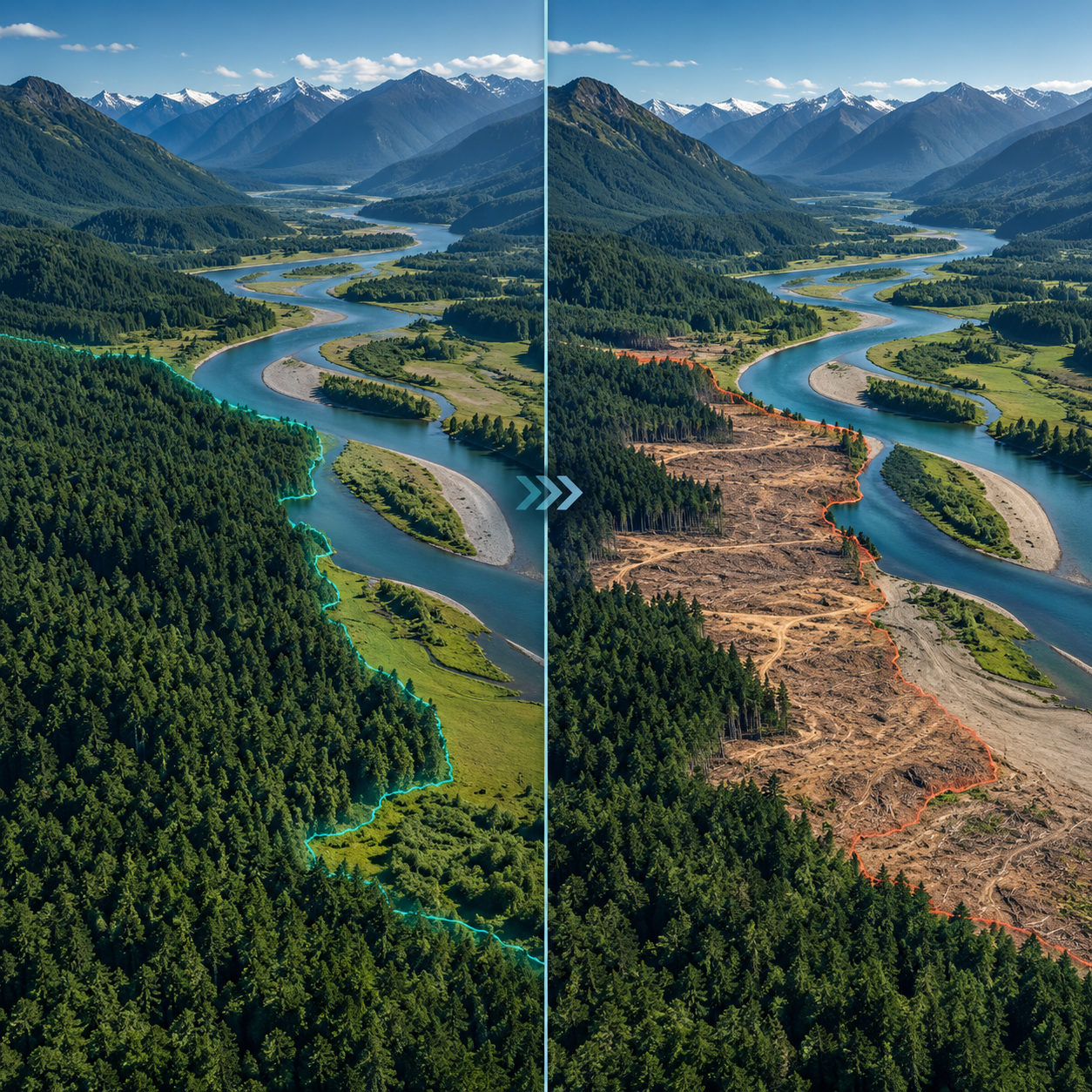
Distinguish meaningful landscape change from noise and seasonal differences using two-date and time-series methods, tested thresholds and transparent accuracy reporting.
About this course
Distinguish meaningful landscape change from noise and seasonal differences using two-date and time-series methods, tested thresholds and transparent accuracy reporting.
This advanced course is part of the Earth Observation & Remote Sensing school. Delivery: Instructor-Led / Cohort. Estimated study time: 22 h.
Course curriculum
- Module 1 — Kinds of Change and Look-alikes
- Module 2 — Bi-temporal Methods
- Module 3 — Time-series Methods
- Module 4 — Change in SAR and LiDAR
- Module 5 — Thresholds and Their Testing
- Module 6 — Accuracy and Area of Change
- Module 7 — Operational Monitoring
- Module 8 — Reporting Change
Applied learning
- Case Study — Everything Changed, Nothing Changed
- Lab 1 — Urban growth and woodland loss from two images
- Lab 2 — A time-series disturbance product
- Lab 3 — A woodland change report with area estimates
- Capstone — A Change Assessment, Defended
Who this course is for
GIS / Remote Sensing Professional; Researcher; Government Professional
Prerequisites
NE-RS-205
Course details
- Course code: NE-RS-303
- Level: Advanced
- Estimated duration: 22 h
- Delivery: Instructor-Led / Cohort
Course materials are in pilot review.
| Training Delivery | Online Instructor-Led Training, Offline Instructor-Led Training |
|---|---|
| Level | Advanced |
| Duration | 22 h |
| Delivery | Instructor-Led / Cohort |
Related products

Earth Observation & Remote Sensing
Earth Observation & Remote Sensing
Earth Observation & Remote Sensing

Earth Observation & Remote Sensing
Earth Observation & Remote Sensing
Earth Observation & Remote Sensing

Earth Observation & Remote Sensing

Earth Observation & Remote Sensing
Earth Observation & Remote Sensing