Multispectral Remote Sensing
Price range: $ 185 through $ 375
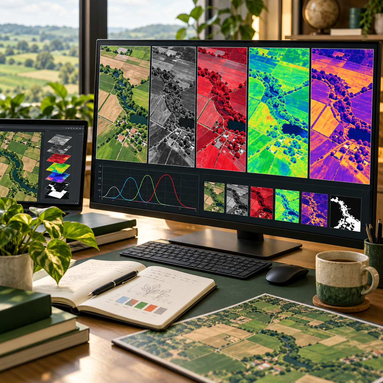
Analyse multispectral observations through reflectance processing, masks, spectral indices, unmixing and time-series monitoring.
About this course
Analyse multispectral observations through reflectance processing, masks, spectral indices, unmixing and time-series monitoring.
This practitioner course is part of the Earth Observation & Remote Sensing school. Work through the curriculum below in a self-paced / instructor-led format, with an estimated study time of 16 h.
Course curriculum
- Module 1 — Multispectral Data in Depth
- Module 2 — From Top-of-Atmosphere to Surface Reflectance in Practice
- Module 3 — Masks and Composites
- Module 4 — Choosing and Testing Spectral Indices
- Module 5 — Spectral Unmixing
- Module 6 — Parcel Time Series and Phenology
- Module 7 — Combining Sensors: Harmonisation
- Module 8 — From Signals to a Monitoring Product
Applied learning
- Case Study — The Scheme Check Goes Live
- Lab 1 — A cloud-free seasonal composite
- Lab 2 — A crop and grassland calendar from parcel time series
- Lab 3 — A validated activity-check product from two sensors
- Capstone — A Multispectral Monitoring Product
Who this course is for
GIS / Remote Sensing Professional; Researcher; Government Professional
Prerequisites
NE-RS-101
Course details
- Course code: NE-RS-202
- Level: Practitioner
- Estimated duration: 16 h
- Delivery: Self-Paced / Instructor-Led
| Training Delivery | Online Instructor-Led Training, Offline Instructor-Led Training |
|---|---|
| Level | Practitioner |
| Duration | 16 h |
| Delivery | Self-Paced / Instructor-Led |
Related products
Earth Observation & Remote Sensing
Earth Observation & Remote Sensing

Earth Observation & Remote Sensing
Earth Observation & Remote Sensing
Earth Observation & Remote Sensing
Earth Observation & Remote Sensing

Earth Observation & Remote Sensing

Earth Observation & Remote Sensing
Earth Observation & Remote Sensing