
Computer Vision for Geospatial Data
Price range: $ 185 through $ 375
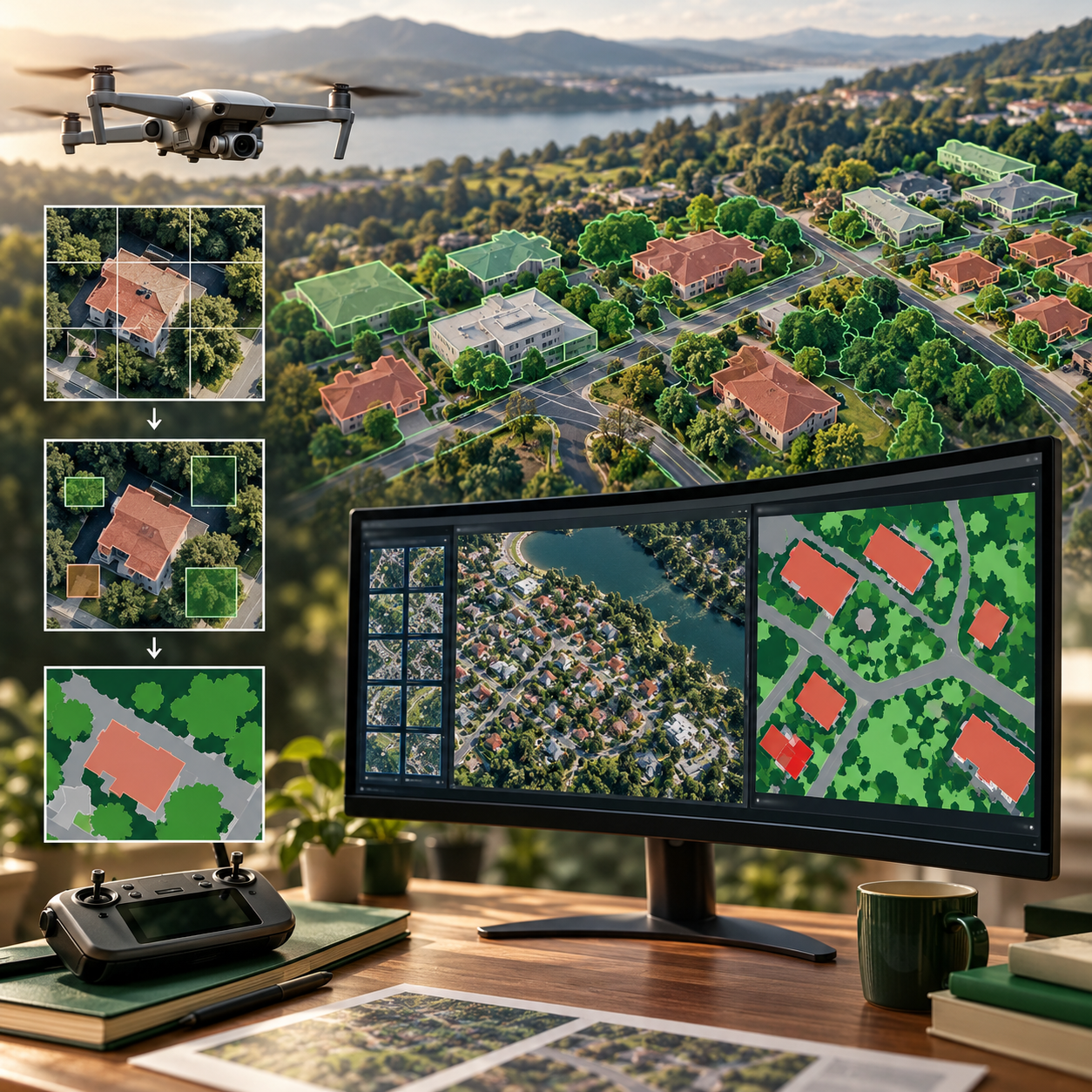
Apply computer vision concepts to aerial and drone imagery, from tiling and labelling to segmentation, vector outputs and accuracy assessment.
About this course
Apply computer vision concepts to aerial and drone imagery, from tiling and labelling to segmentation, vector outputs and accuracy assessment.
This advanced course is part of the GeoAI & Geospatial Intelligence school. Work through the curriculum below in a instructor-led / cohort format, with an estimated study time of 23 h.
Course curriculum
- Module 1 — Aerial and Drone Imagery
- Module 2 — Tiling and Labelling Strategies
- Module 3 — Semantic Segmentation
- Module 4 — Object Detection
- Module 5 — From Pixels to Vectors
- Module 6 — Object- and Area-Level Accuracy
- Module 7 — Spatial and Domain Shift
- Module 8 — Deployment and Inference Cost
Applied learning
- Case Study — Pennard: A Solar Register That Worked in June
- Lab 1 — Segment buildings and vectorise them
- Lab 2 — Detect solar panels and measure object-level precision and recall
- Lab 3 — Test a model on a town it has not seen
- Capstone — A Geospatial Vision Product You Can Defend
Who this course is for
GIS / Remote Sensing Professional; Data Professional; Researcher
Prerequisites
NE-AI-106
Course details
- Course code: NE-GEO-305
- Level: Advanced
- Estimated duration: 23 h
- Delivery: Instructor-Led / Cohort
| Training Delivery | Online Instructor-Led Training, Offline Instructor-Led Training |
|---|---|
| Level | Advanced |
| Duration | 23 h |
| Delivery | Instructor-Led / Cohort |
Related products

GeoAI & Geospatial Intelligence
GeoAI & Geospatial Intelligence

GeoAI & Geospatial Intelligence

GeoAI & Geospatial Intelligence
GeoAI & Geospatial Intelligence

GeoAI & Geospatial Intelligence