


AI for Satellite Imagery
Price range: $ 185 through $ 375
Explore satellite AI workflows for land cover, crop monitoring and change detection, including temporal features and repeatable map production.
About this course
Explore satellite AI workflows for land cover, crop monitoring and change detection, including temporal features and repeatable map production.
This advanced course is part of the GeoAI & Geospatial Intelligence school. Work through the curriculum below in a instructor-led / cohort format, with an estimated study time of 22 h.
Course curriculum
- Module 1 — Satellite Data at Scale
- Module 2 — Time Series and Compositing
- Module 3 — Land-Cover and Crop Classification with Temporal Features
- Module 4 — Change Detection and Alerts
- Module 5 — SAR and Optical Together
- Module 6 — Pretrained Models and Learning from Few Labels
- Module 7 — Area Estimation with Good-Practice Sampling
- Module 8 — Running a Map Product Year after Year
Applied learning
- Case Study — Pennard: The Year the Maize Went Missing
- Lab 1 — A land-cover map with spatial validation and area estimates
- Lab 2 — A change-alert system and its false-alarm rate
- Lab 3 — Few labels: pretrained embeddings against a supervised baseline
- Capstone — A Satellite Map Product for a Real Decision
Who this course is for
GIS / Remote Sensing Professional; Data Professional; Researcher
Prerequisites
NE-GEO-105
Course details
- Course code: NE-GEO-304
- Level: Advanced
- Estimated duration: 22 h
- Delivery: Instructor-Led / Cohort
| Training Delivery | Online Instructor-Led Training, Offline Instructor-Led Training |
|---|---|
| Level | Advanced |
| Duration | 22 h |
| Delivery | Instructor-Led / Cohort |
Related products

GeoAI & Geospatial Intelligence
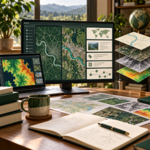
GeoAI & Geospatial Intelligence
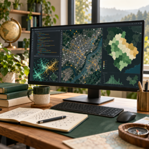
GeoAI & Geospatial Intelligence

GeoAI & Geospatial Intelligence

GeoAI & Geospatial Intelligence
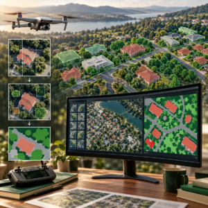
GeoAI & Geospatial Intelligence