AI for Remote Sensing
Price range: $ 185 through $ 375
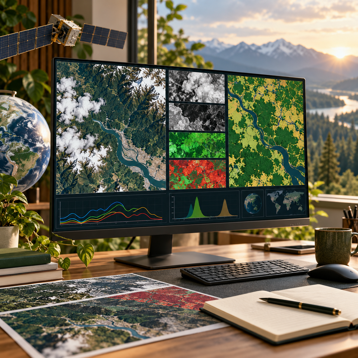
Explore AI workflows for remotely sensed imagery, from cloud masking and spectral features to segmentation, time series and change detection.
About this course
Explore AI workflows for remotely sensed imagery, from cloud masking and spectral features to segmentation, time series and change detection.
This advanced course is part of the AI & Generative AI school. Work through the curriculum below in a instructor-led / cohort format, with an estimated study time of 28 h.
Course curriculum
- Module 1 — Remote Sensing Data for Machine Learning
- Module 2 — Clouds, Atmosphere and Compositing
- Module 3 — Spectral Indices and Pixel Classification
- Module 4 — Accuracy Assessment and Area Estimation
- Module 5 — Deep Learning for Semantic Segmentation
- Module 6 — Time Series and Phenology
- Module 7 — Change Detection
- Module 8 — Labels, Transfer and Operations
Applied learning
- Case study — Pennard Regional Council: an annual land-monitoring service from satellite data
- Lab 1 — A clean summer composite for 2025
- Lab 2 — A land-cover map with an honest area table
- Lab 3 — How much land was built on?
- Capstone — An Earth-Observation Mapping or Monitoring Study
Who this course is for
Technology Professional; Data Professional; Engineer / Architect
Prerequisites
NE-AI-201
Course details
- Course code: NE-AI-308
- Level: Advanced
- Estimated duration: 28 h
- Delivery: Instructor-Led / Cohort
| Training Delivery | Online Instructor-Led Training, Offline Instructor-Led Training |
|---|---|
| Level | Advanced |
| Duration | 28 h |
| Delivery | Instructor-Led / Cohort |
Related products

AI & Generative AI

AI & Generative AI

AI & Generative AI
AI & Generative AI

AI & Generative AI

AI & Generative AI
AI & Generative AI
AI & Generative AI

AI & Generative AI

AI & Generative AI
AI & Generative AI
AI & Generative AI